rubywrangler
Member


Joined: 04 Aug 2015
Posts: 511 | TRs | Pics
|
Julia and I had penciled in a different Grand Canyon trip for this week, but I fractured my 4th metacarpal about a month ago so we switched to Buckskin Gulch-Paria Canyon as Plan B after Stefan confirmed it was probably doable with one good hand. Then a huge storm coincided with our permit, so we cancelled it, waited out the weather a couple days, and chose this as plan C. But it really deserves Plan A status! At the last minute I texted Shelby for some info and discovered she was free, so she joined.
Day 1 South kaibab TH to cottonwood CG
We got a purposely late start to let the roads thaw a bit. I had been a little concerned about ice on the South Kaibab trail but it was just snowy for about 1/2 mile and then muddy for the next mile. No problem with one trekking pole, but crowded. We took a break at Phantom Ranch and then continued up the North Kaibab trail to the very luxurious Cottonwood Campground (picnic tables! food storage boxes! toilets!), arriving just as it got dark. Surprisingly I had little trouble setting up my tent with one hand.  After dinner I passed out immediately and got my only good night of sleep on this trip. After dinner I passed out immediately and got my only good night of sleep on this trip.
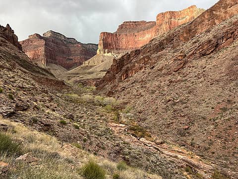
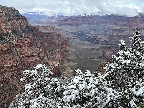 snow on the rim 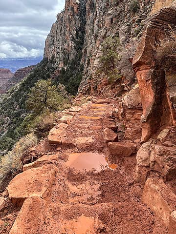 typical upper trail conditions 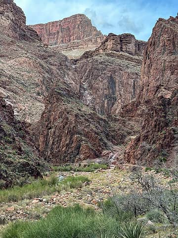 pretty perfect in Bright Angel canyon 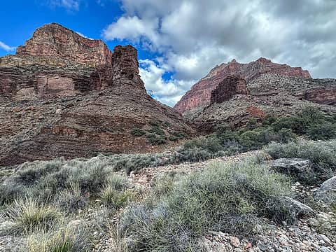 Cottonwood camp views 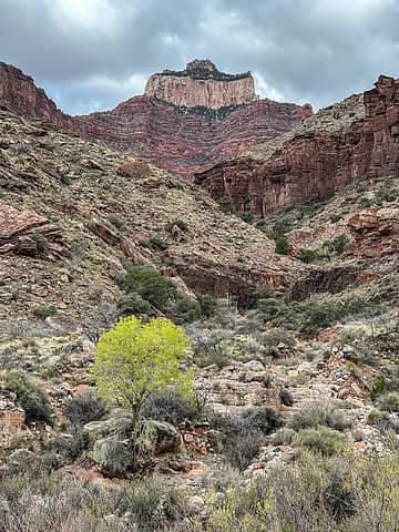 Oza butte 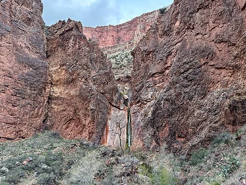 upper ribbon 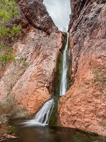 upper ribbon 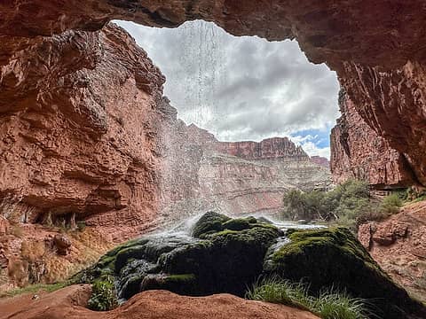 lower ribbon 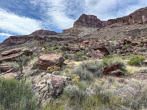 cattle route 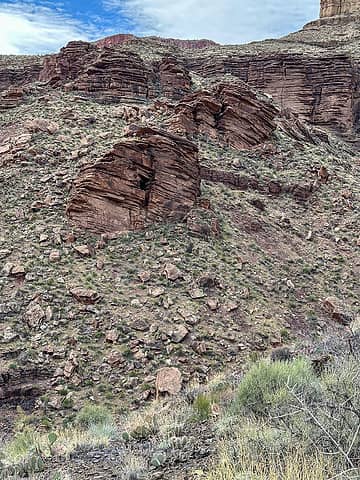 tapeats break 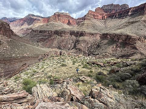 looking back from the break 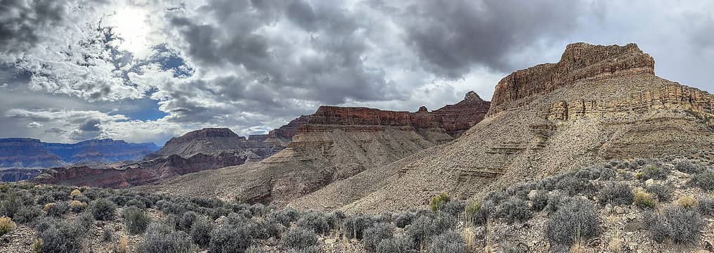 cattle route 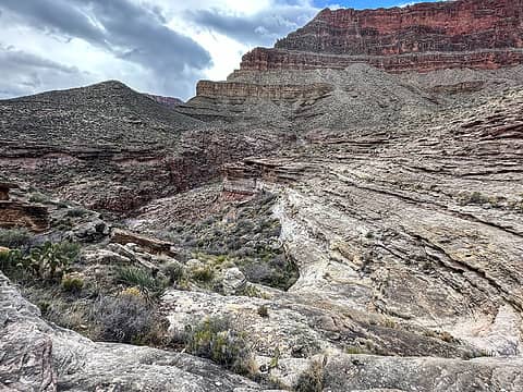 muav ledges 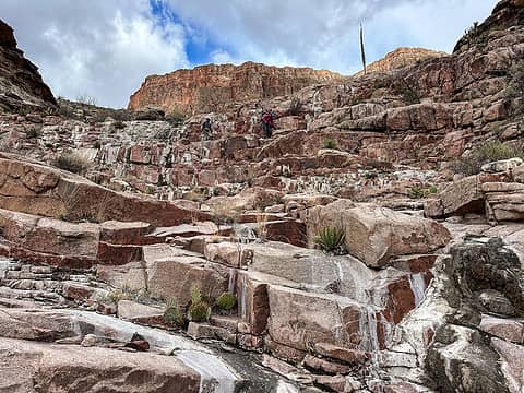 dropping into the 2nd side drainage 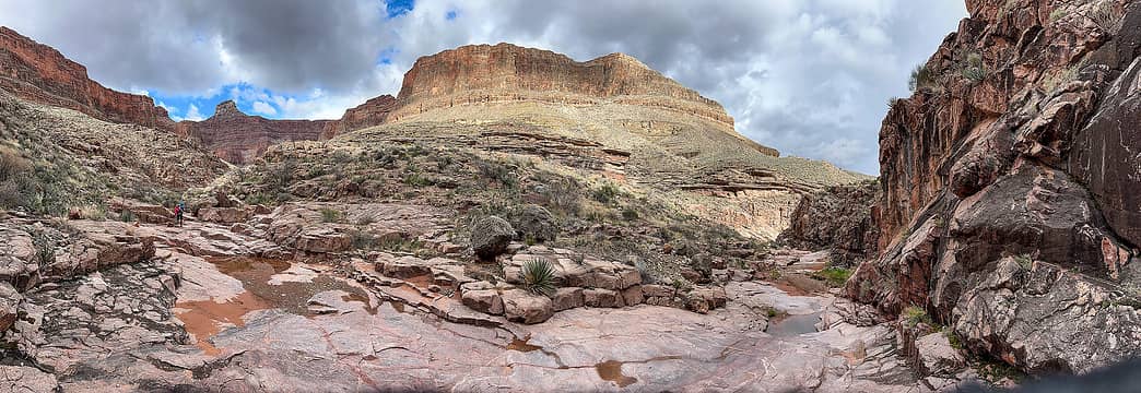 in the 2nd side drainage 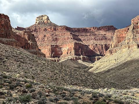 buddha temple 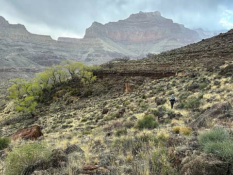 passing by a cottonwood grove on the tonto in the rain 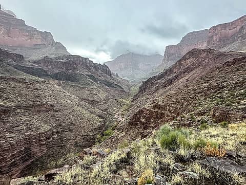 upper phantom canyon 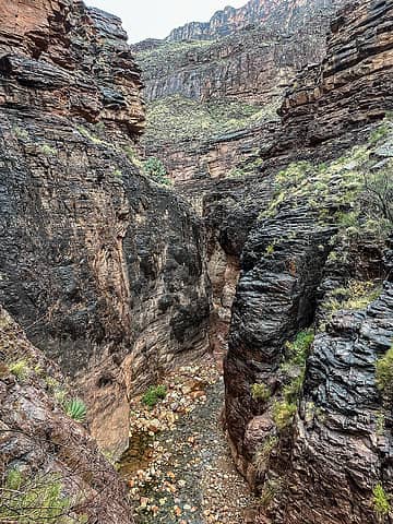 lower phantom is so high on my list 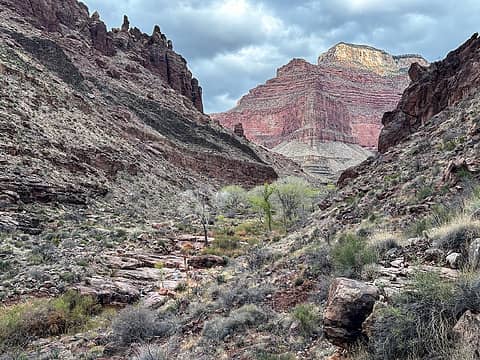 upper phantom 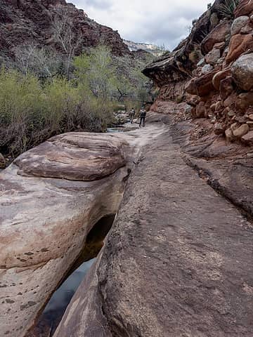 upper phantom 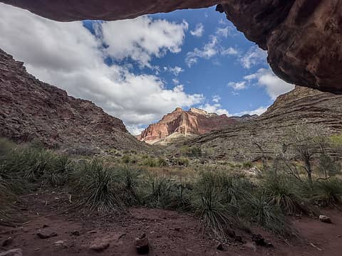 view upcanyon from the large overhang 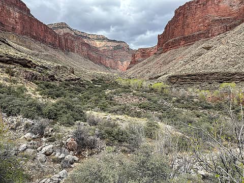 upper phantom 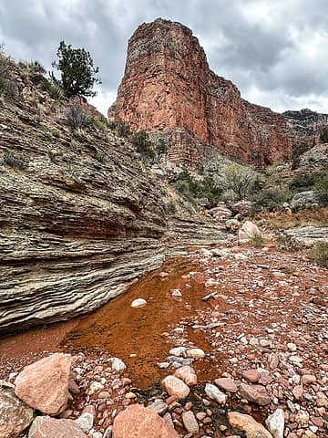 upper phantom 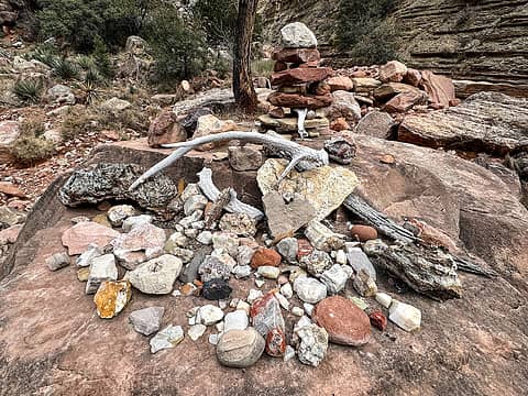 hippie camp collection 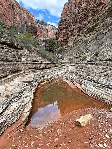 more muav 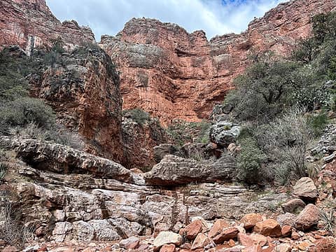 upper upper phantom 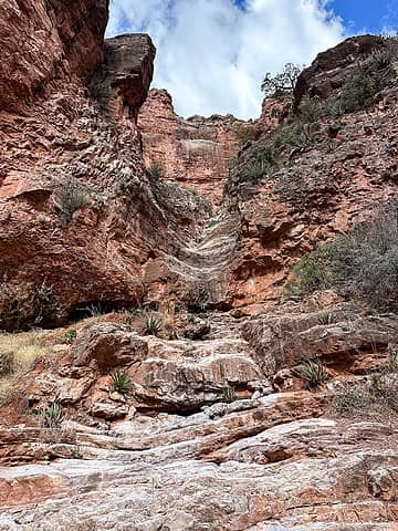 turnaround point 
 leaving phantom canyon 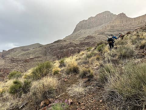 in the rain again 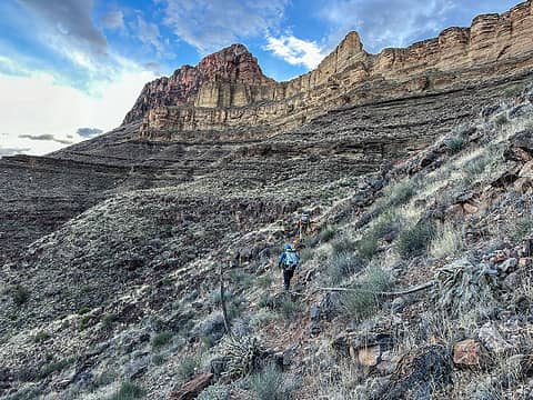 clearing again 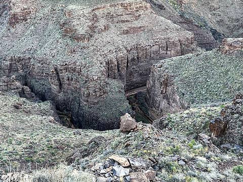 lower phantom from above 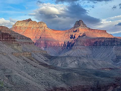 deva & brahma temple 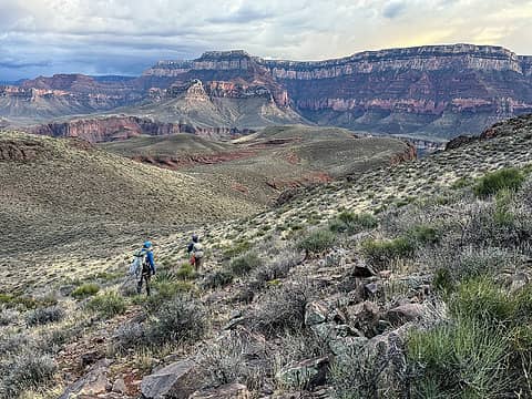 beginning the descent to utah flats 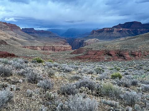 incoming weather 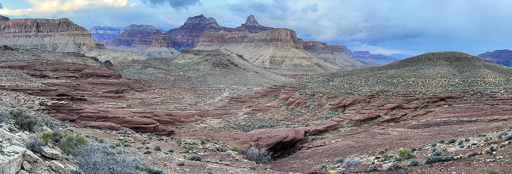 utah flats 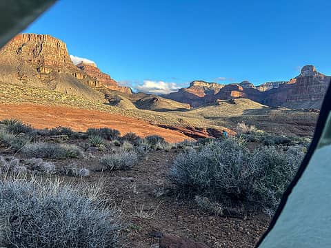 good morning! 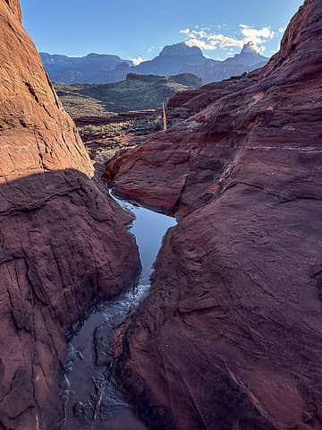 utah flats 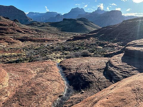 utah flats 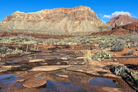 utah flats 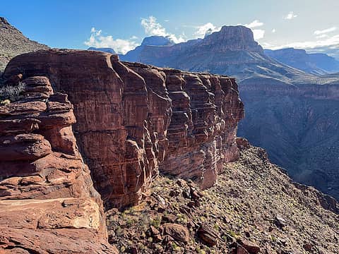 utah flats 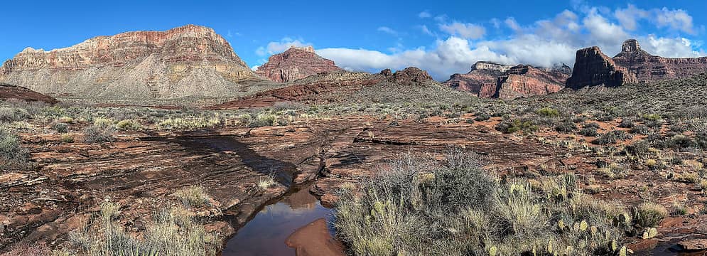 utah flats 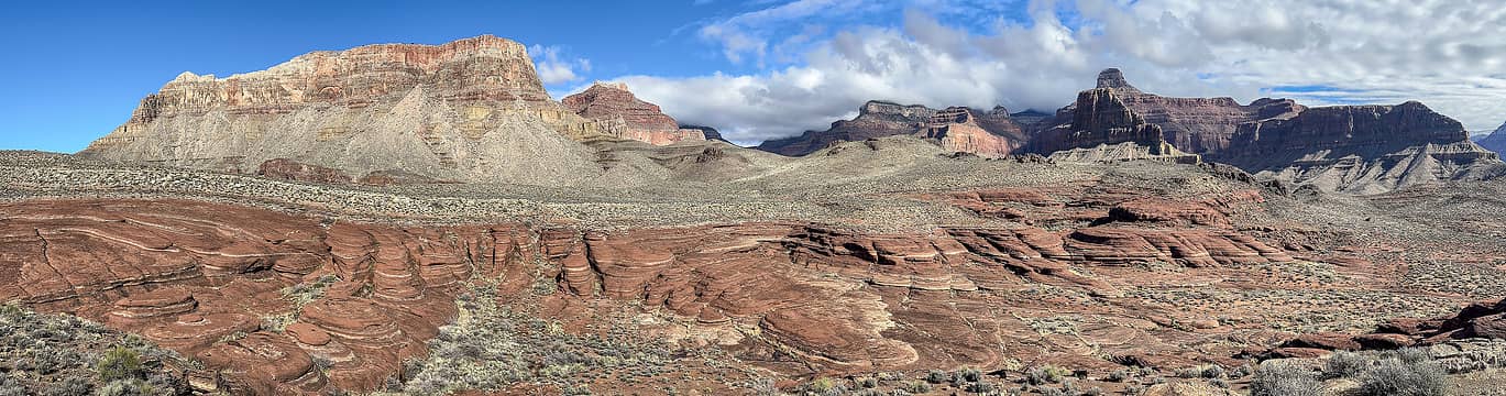 utah flats 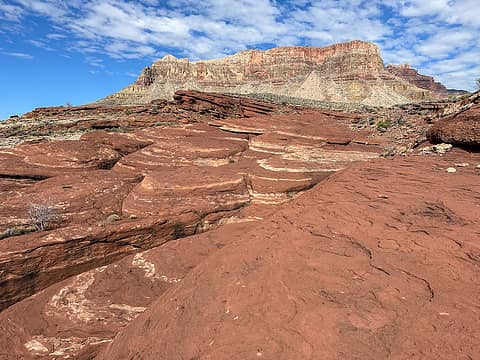 utah flats 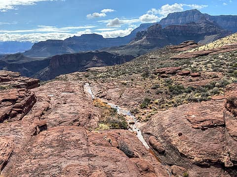 beginning the descent to bright angel 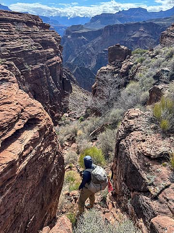 entering piano alley 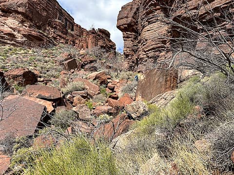 julia in piano alley
 Now I Fly, olderthanIusedtobe, zeldathewelder, neek, NorthBen, Bootpathguy, RAW-dad, shelby147, meck, NWtrax, Waterman, jstern, Nancyann, Prosit, Eric Hansen, Kascadia, kite, zimmertr, fourteen410, graywolf, Lightning_bug, John Mac, reststep Now I Fly, olderthanIusedtobe, zeldathewelder, neek, NorthBen, Bootpathguy, RAW-dad, shelby147, meck, NWtrax, Waterman, jstern, Nancyann, Prosit, Eric Hansen, Kascadia, kite, zimmertr, fourteen410, graywolf, Lightning_bug, John Mac, reststep  jaysway, geyer, Ski, RichP jaysway, geyer, Ski, RichP  silence, GaliWalker silence, GaliWalker  awilsondc, Gimpilator, Slim awilsondc, Gimpilator, Slim
Now I Fly, olderthanIusedtobe, zeldathewelder, neek, NorthBen, Bootpathguy, RAW-dad, shelby147, meck, NWtrax, Waterman, jstern, Nancyann, Prosit, Eric Hansen, Kascadia, kite, zimmertr, fourteen410, graywolf, Lightning_bug, John Mac, reststep jaysway, geyer, Ski, RichP silence, GaliWalker awilsondc, Gimpilator, Slim |


 .
.